lvaM78nWHp
Valheim seed lvaM78nWHp is in the gallery for Deep North and Ashlands access. You spawn on an island of 3.3 km² (3% of all land) with Meadows (1.8 km²), Black Forest (1.3 km²) and Mountain (0.2 km²). 1 of the 8 boss altars can be reached on foot: Eikthyr. The nearest Haldor camp spot is 1.9 km on foot, to the south-east. The nearest Swamp is 2.1 km on foot. The nearest Plains is 3.0 km by sea. 7 other islands lie within 2.5 km of the spawn. Open it on the seed map to see every location, or type the seed into the map yourself.
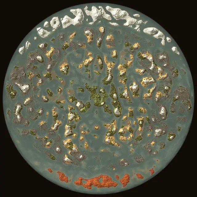
At a glance
- Ashlands 8.5 km, Deep North 8.5 km
- Spawn island 3.3 km²
- Haldor 1.9 km on foot
| Spawn island | 3.3 km², 3% of all land |
|---|---|
| On the spawn island | Meadows 1.8 km², Black Forest 1.3 km², Mountain 0.2 km² |
| Bosses on foot | 1 of 8 (Eikthyr) |
| Haldor | 1.9 km on foot |
| Nearest Swamp | 2.1 km on foot |
| Nearest Plains | 3.0 km by sea |
| Nearest Mistlands | 6.1 km by sea |
| Nearest Ashlands | 8.5 km by sea |
| Nearest Deep North | 8.5 km by sea |
| Islands within 2.5 km | 7 |
| Land in the world | 117 km² |
Bosses and traders
| Name | From the spawn | Straight line | Sites | Map |
|---|---|---|---|---|
 EikthyrBoss | 380 mon foot | 370 m | 3 | On the map |
 The ElderBoss | 1.3 kmby sea | 1.2 km | 4 | On the map |
 BonemassBoss | 3.4 kmby sea | 3.1 km | 5 | On the map |
 ModerBoss | 2.5 kmby sea | 2.5 km | 3 | On the map |
 YagluthBoss | 5.2 kmby sea | 4.9 km | 4 | On the map |
 The QueenBoss | 7.3 kmby sea | 6.3 km | 5 | On the map |
 FaderBoss | 8.9 kmby sea | 8.6 km | 3 | On the map |
 Kall FimbulbringerBoss | 9.4 kmby sea | 8.8 km | 3 | On the map |
 HaldorTrader | 1.9 kmon foot | 1.8 km | 10 | On the map |
 HildirTrader | 3.4 kmby sea | 3.2 km | 10 | On the map |
 The Bog WitchTrader | 3.4 kmby sea | 3.2 km | 10 | On the map |
The site shown is the nearest one you can walk to, else the shortest route by sea. Traders: the first of their spots a player comes near becomes the real camp.
Nearest locations
| Location | From the spawn | Straight line | Map |
|---|---|---|---|
| Burial Chambers | 570 mon foot | 520 m | On the map |
| Troll Cave | 780 mon foot | 770 m | On the map |
| Frost Caves | 1.8 kmby sea | 1.8 km | On the map |
| Sunken Crypts | 2.3 kmby sea | 2.1 km | On the map |
| Surtling fire hole | 3.0 kmby sea | 2.8 km | On the map |
| Fuling village | 3.1 kmby sea | 3.0 km | On the map |
| Tar pit | 3.3 kmby sea | 3.1 km | On the map |
| Forge of Potential | 4.2 kmby sea | 3.9 km | On the map |
| Howling Cavern | 5.3 kmby sea | 4.1 km | On the map |
| Sealed Tower | 4.5 kmby sea | 4.1 km | On the map |
| Smouldering Tomb | 5.2 kmby sea | 5.0 km | On the map |
| Infested Mine | 6.5 kmby sea | 6.0 km | On the map |
| Dvergr excavation | 7.2 kmby sea | 6.1 km | On the map |
| Charred Fortress | 8.9 kmby sea | 8.7 km | On the map |
Biomes
Share of the land. Land is 117 km².
More seeds: Deep North and Ashlands access
All of them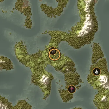
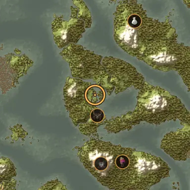
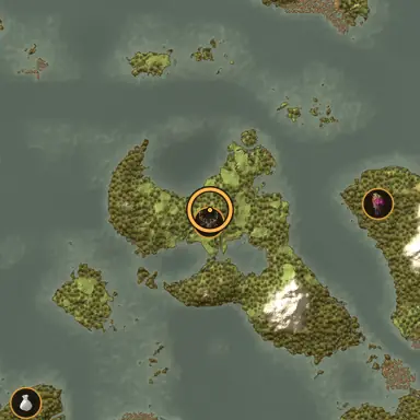
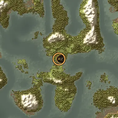
Current world generation (worlds made since Mistlands). On foot: reachable from the spawn without water deeper than the player can wade, on a 20 m grid; by sea: walk, sail and walk. Same numbers as the seed map's World tab.